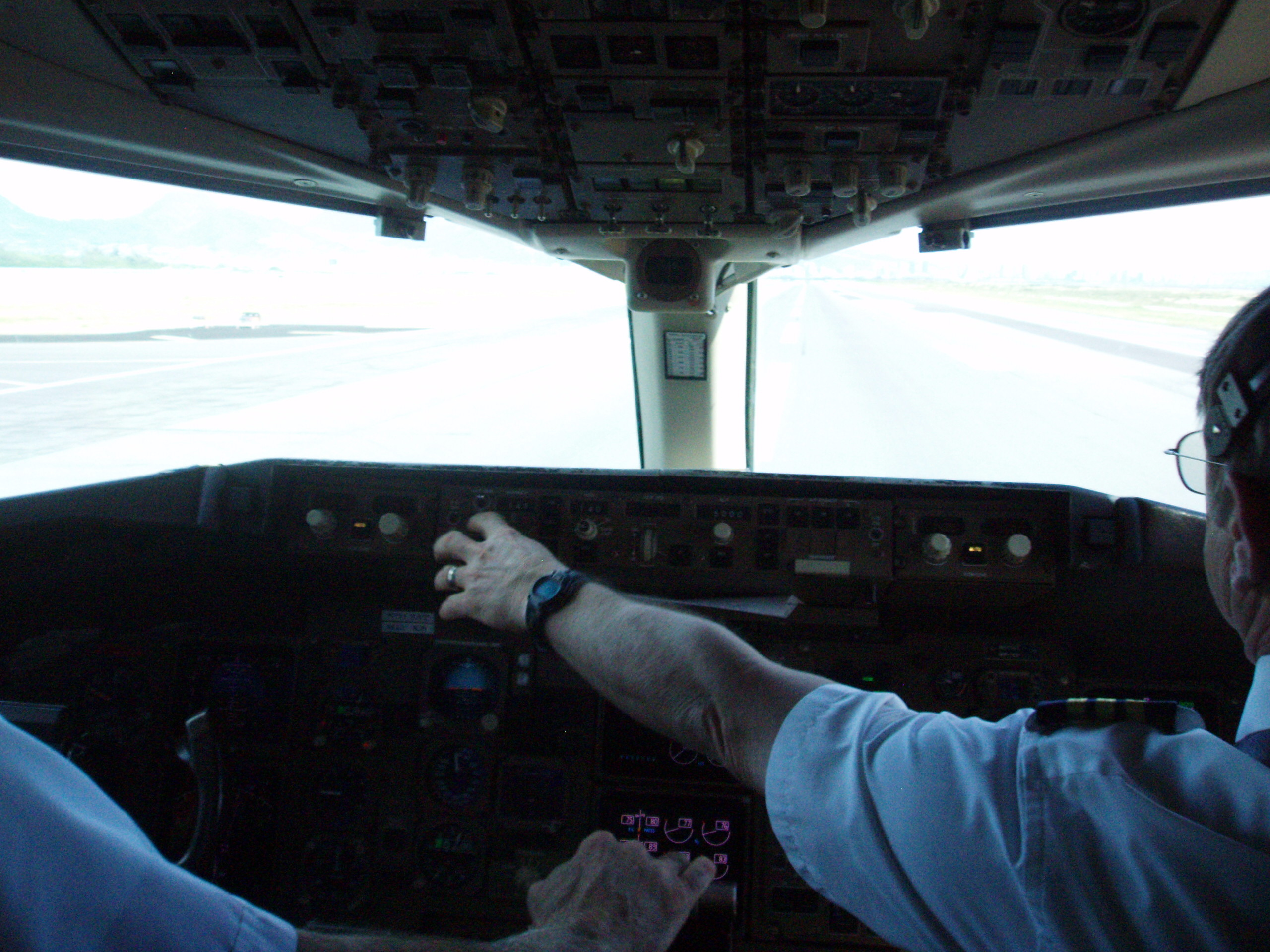
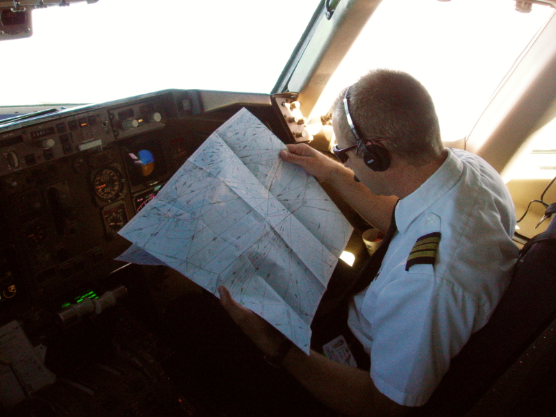
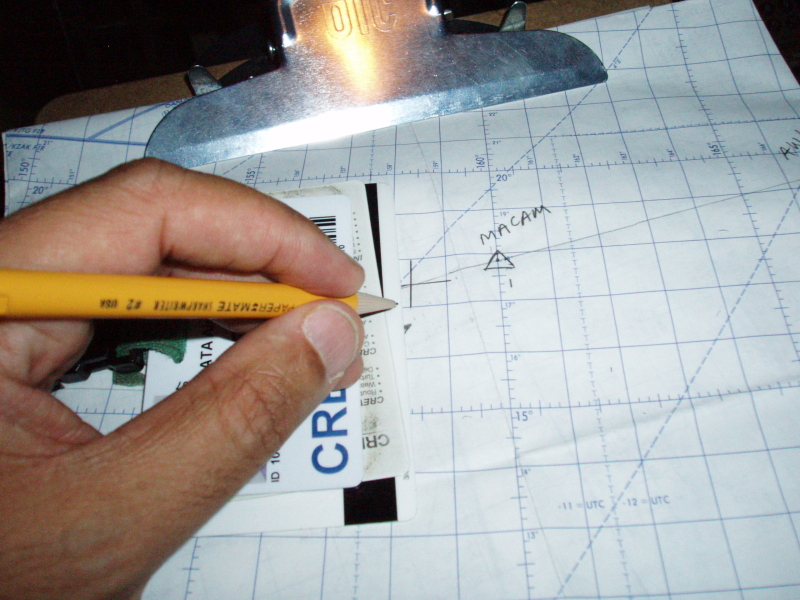
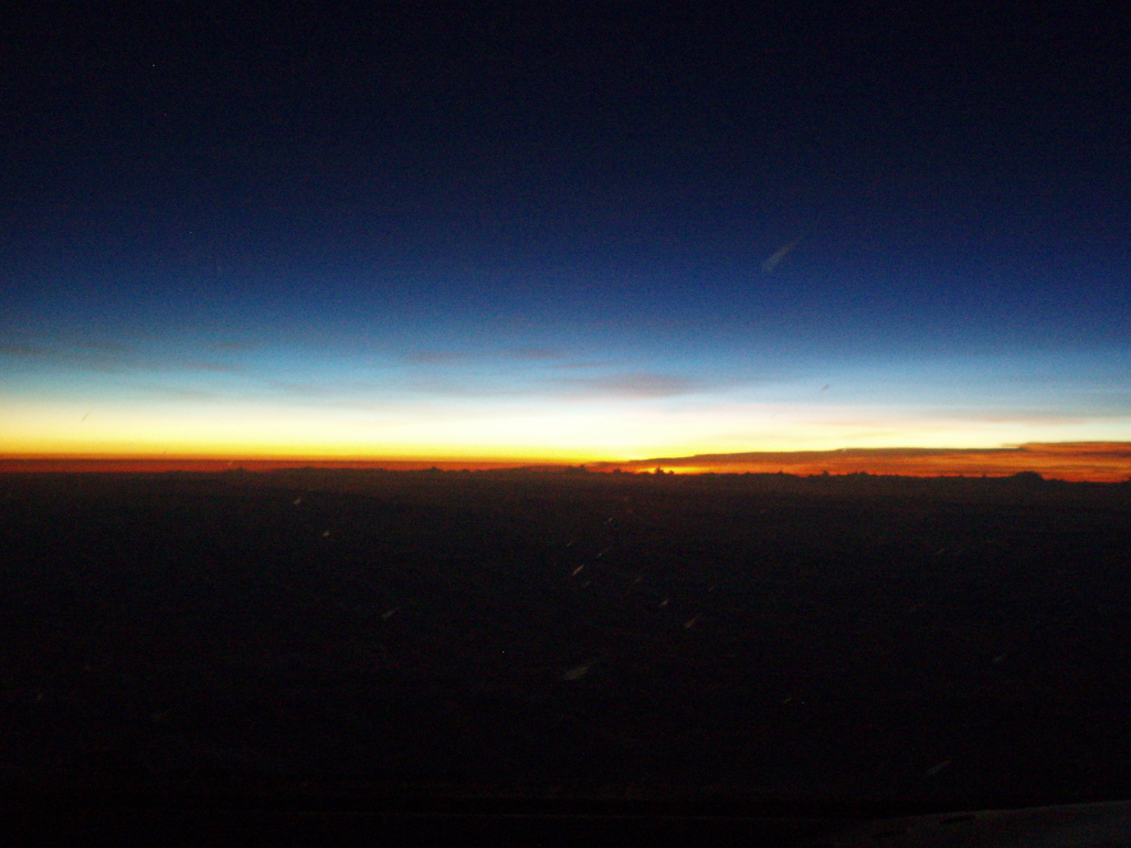
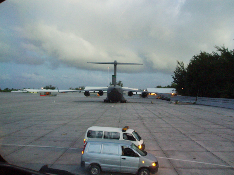

These pictures were taken during my journeys around the world flying the Boeing 757 and 737, and portray much of what I experienced regularly when "out there." Frequently, eastbound, we would see sunset at cruise altitude, then see it come up again before getting anywhere near the destination. In between, there is plenty of position plotting, reporting via radio to ATC, and moitoring the flights' progress across the globe.
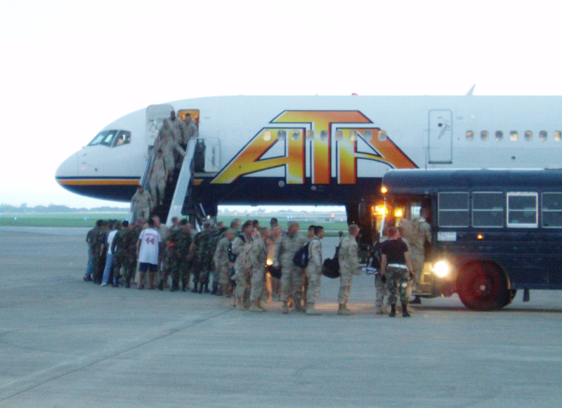
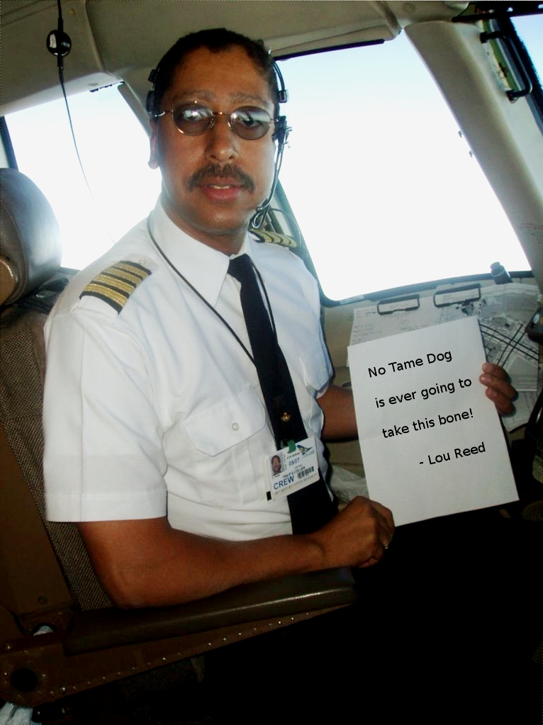
ATA had such great crews. I am proud of the fact that my ATA never lost a passener. We operated so well and had good luck, never killing anyone. Some former ATA people went to other companies which did not fare so well.
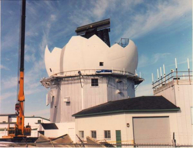
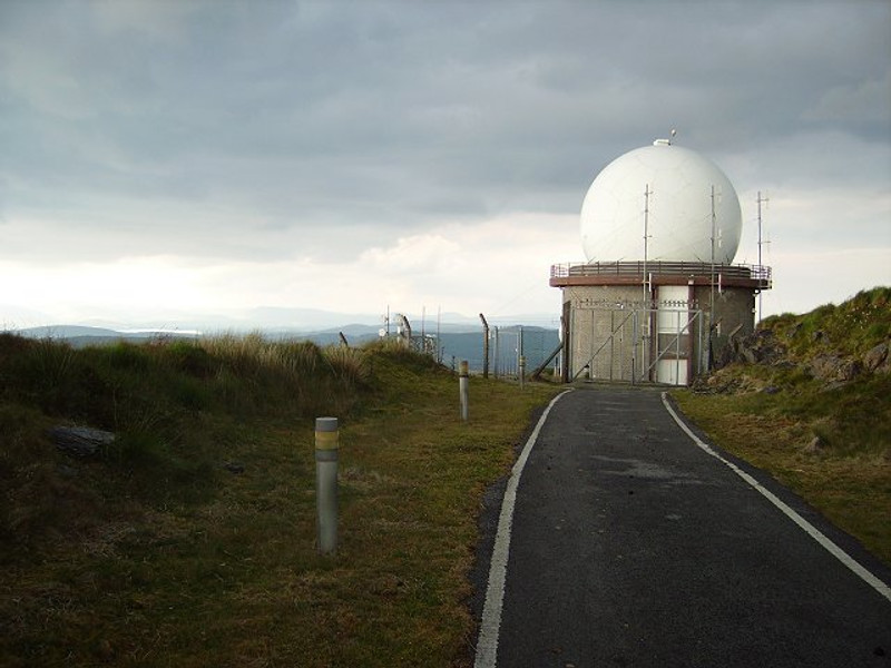
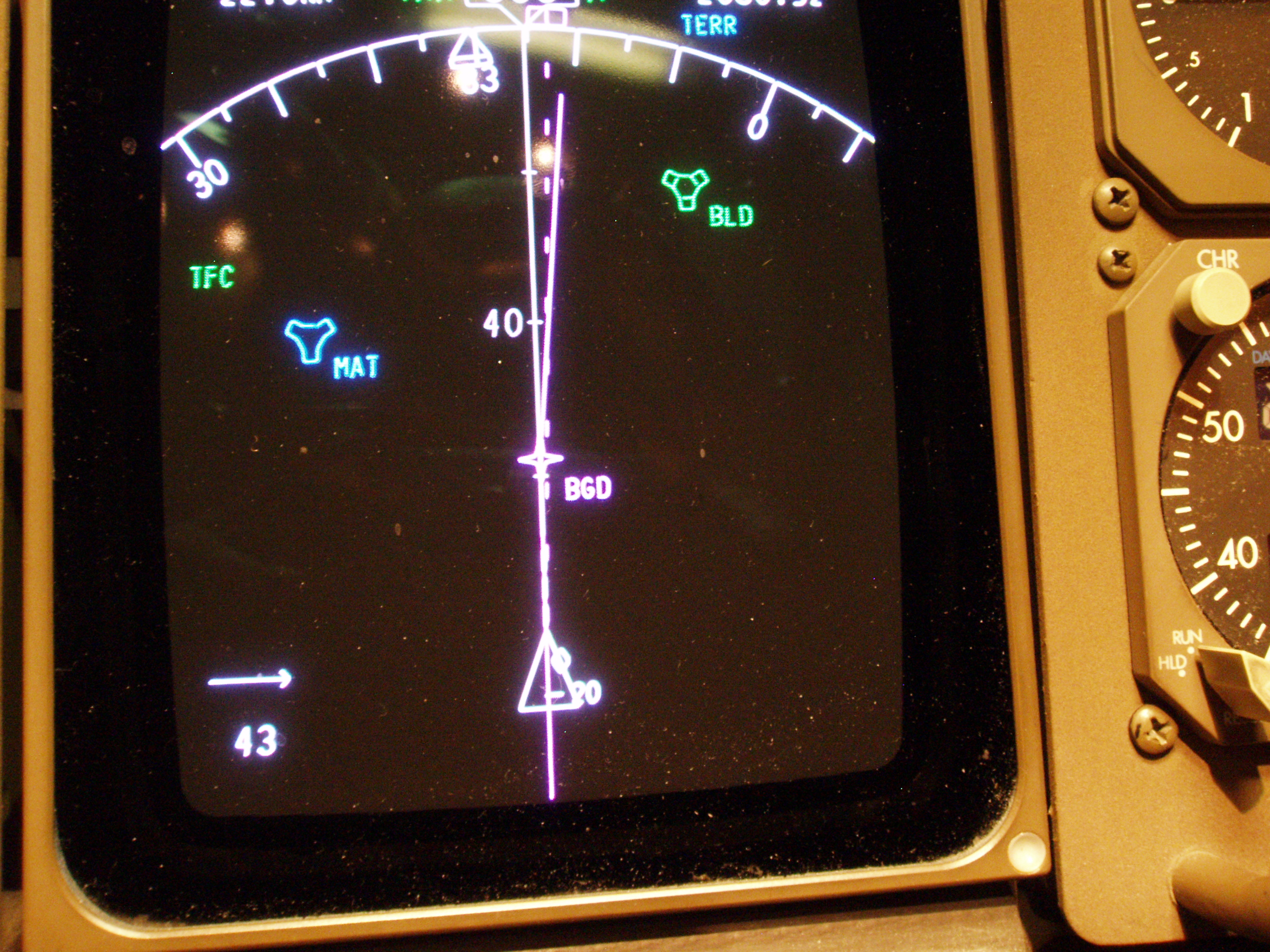
There are also a few "extras" in these pictures. For example, anyone who follows the North Atlantic Track System spends some time in the radar coverage of antennas near Gander and Mount Gabriel, but pilots rarely see the actual sites! And who hasn't felt just a bit of adrenaline flying the airspace over Baghdad? Enjoy the galleries, and feel free to write if you have comments!
© 2005 - 2024 AB9IL.net, All Rights Reserved.
About Philip Collier / AB9IL, Commentaries and Op-Eds, Contact, Privacy Policy and Affiliate Disclosure, XML Sitemap.
This website is reader-supported. As an Amazon affiliate, I earn from qualifying purchases.